File:SD in SD County map.png

Dimension de iste previsualisation: 777 × 600 pixels.Altere resolutiones: 311 × 240 pixels | 622 × 480 pixels | 995 × 768 pixels | 1 026 × 792 pixels.
File original (1 026 × 792 pixels, dimension del file: 27 KB, typo MIME: image/png)
Summario
| Description |
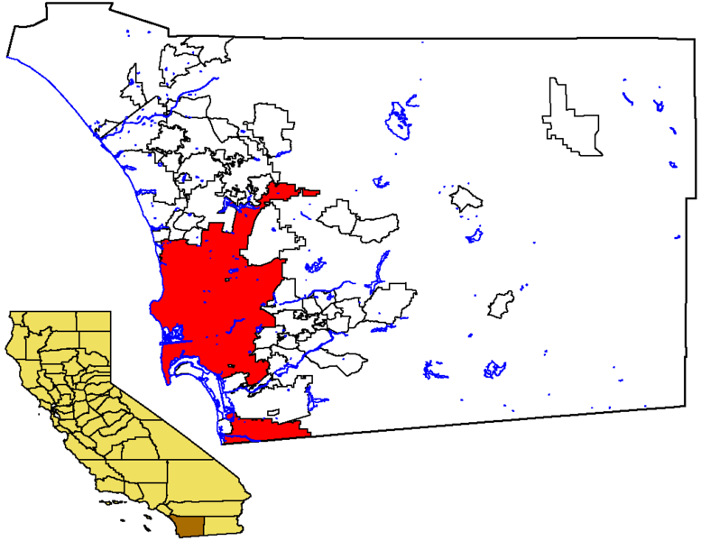
English: Locator map of the City of San Diego — in southwestern San Diego County, Southern California.
|
| Data | 17 de novembre 2005 (original upload date) |
| Origine | No machine-readable source provided. Own work assumed (based on copyright claims). |
| Autor | No machine-readable author provided. Otto Normalverbraucher assumed (based on copyright claims). |
Licentia
| Io, titular del derecto de autor sur iste obra, libera iste obra al dominio public. Isto vale in tote le mundo. In alcun paises isto pote non esser legalmente possibile. In tal caso: Io concede a omnes le derecto de usar iste obra pro non importa qual fin, sin conditiones, a minus que tal conditiones sia requirite per lege. |
Historia del file
Clicca sur un data/hora pro vider le file como appareva a ille tempore.
| Data/Hora | Miniatura | Dimensiones | Usator | Commento | |
|---|---|---|---|---|---|
| actual | 21:11, 17 novembre 2005 | | 1 026 × 792 (27 KB) | Otto Normalverbraucher | from the english wikipedia. original description: "Map of the City of San Diego within San Diego County, with County highlighted in California. I created this map from US Census Bureau data. I release it to Public Domain" by first publisher [[:en:User:Ma |
| 21:02, 17 novembre 2005 |  | 1 026 × 792 (27 KB) | Otto Normalverbraucher | from the english wikipedia. original description: "Map of the City of San Diego within San Diego County, with County highlighted in California. I created this map from US Census Bureau data. I release it to Public Domain" by first publisher [[en:User:Mac |
Uso de iste file
Il non ha paginas que usa iste file.
Uso global de iste file
Le altere wikis sequente usa iste imagine:
- Uso in ar.wikipedia.org
- Uso in es.wikipedia.org
- Uso in he.wikipedia.org
- Uso in lmo.wikipedia.org
- Uso in pam.wikipedia.org
- Uso in sc.wikipedia.org
- Uso in sk.wikipedia.org
- Uso in vi.wikipedia.org