File:View towards Dorking from the Nower (geograph 5120040 by Ian Capper, cropped).jpg
Non disponibile in resolution plus alte.
View_towards_Dorking_from_the_Nower_(geograph_5120040_by_Ian_Capper,_cropped).jpg (647 × 575 pixels, dimension del file: 246 KB, typo MIME: image/jpeg)
.jpg)
Summario
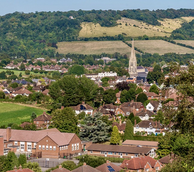
| Description |
English: TQ1587848830 from TQ 15582 48435 |
| Data | |
| Origine |
This file was derived from: Towards Dorking (geograph 5120038).jpg |
| Autor | Ian Capper |
| Altere versiones | This is a cropped version of File:Towards Dorking (geograph 5120038).jpg |
| Attribution (required by the license) | Ian Capper / Towards Dorking / |
.jpg)
| Camera location | | View this and other nearby images on: OpenStreetMap |
|---|
.jpg¶ms=051.223417_N_-000.346239_E_globe:Earth_type:camera_source:geograph-osgb36(TQ1558248435)_heading:45.00&language=ia)
| Object location | | View this and other nearby images on: OpenStreetMap |
|---|
.jpg¶ms=051.226910_N_-000.341870_E_globe:Earth_class:object_type:object_source:geograph-osgb36(TQ1587848830)_heading:45.00&language=ia)
Licentia
Iste file es disponibile sub le licentia Creative Commons Attribution-CompartiSimile 2.0 Generic.
Attribution: Ian Capper
- Tu es libere:
- de condivider – de copiar, distribuer e transmitter le obra
- de remixar – de adaptar le obra
- Sub le sequente conditiones:
- attribution – Tu debe dar information appropriate sur le autor, fornir un ligamine al licentia, e indicar si modificationes ha essite apportate. Tu pote facer lo de qualcunque maniera rationabile, ma non in alcun modo que suggere que le licentiator approba te o tu uso del obra.
- condivider equalmente – Si tu altera, transforma o disveloppa le material, tu debe distribuer tu contributiones sub un licentia identic o compatibile con le original.
Historia del file
Clicca sur un data/hora pro vider le file como appareva a ille tempore.
| Data/Hora | Miniatura | Dimensiones | Usator | Commento | |
|---|---|---|---|---|---|
| actual | 22:55, 28 februario 2021 | | 647 × 575 (246 KB) | Mertbiol | sharpen colours |
| 13:08, 27 januario 2021 |  | 647 × 575 (612 KB) | Mertbiol | Uploaded a work by Ian Capper from https://www.geograph.org.uk/photo/5120038 with UploadWizard |
Uso de iste file
Le sequente pagina usa iste file:
Uso global de iste file
Le altere wikis sequente usa iste imagine:
- Uso in ar.wikipedia.org
- Uso in cy.wikipedia.org
- Uso in en.wikipedia.org
- Uso in en.wikivoyage.org
- Uso in ga.wikipedia.org
- Uso in lld.wikipedia.org
- Uso in lv.wikipedia.org
- Uso in ro.wikipedia.org
- Uso in sr.wikipedia.org
- Uso in uk.wikipedia.org
- Uso in www.wikidata.org
.jpg)