File:Amazonas MesoMicroMunicip.svg

Dimension de iste previsualisation PNG de iste file SVG: 800 × 561 pixels. Altere resolutiones: 320 × 224 pixels | 640 × 449 pixels | 1 024 × 718 pixels | 1 280 × 898 pixels | 2 560 × 1 796 pixels | 985 × 691 pixels.
File original (File SVG, dimensiones nominal: 985 × 691 pixels, grandor del file: 721 KB)

|
Standardization of derivative maps
Feel free to create derivations of this work, but if you want to illustrate a Wikipedia article with derivative works of this or similar maps of Brazil, please strictly follow the visual standard, nomenclature and classification already in use. All maps of Brazilian subdivisions are being adaptated or created in this way. We do not want to inhibit creativity but the pattern adopted here was presented and accepted by the Lusophone community and should be followed whenever possible. |
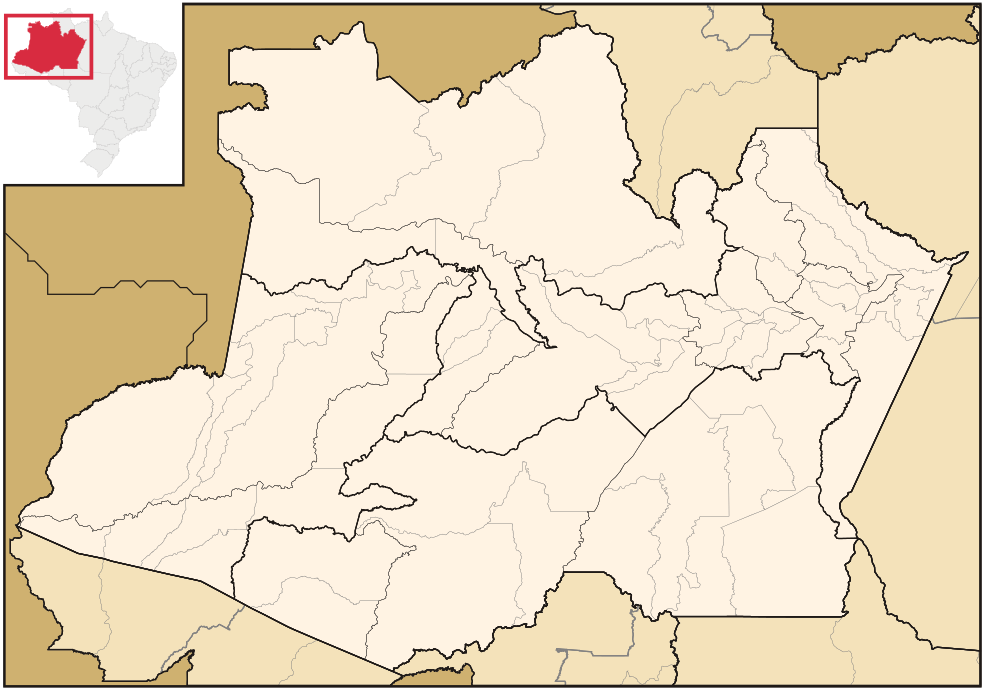
| Description | Map of Amazonas state | ||||||||
| Data | |||||||||
| Origine | Obra proprie | ||||||||
| Autor | Raphael Lorenzeto de Abreu | ||||||||
| Permission (Reuso de iste file) |
Io, titular del derecto de autor sur iste obra, declara de publicar lo sub le sequente licentias:
Iste file es disponibile sub le licentia Creative Commons Attribution 2.5 Generic.
Tu pote seliger le licentia de tu preferentia. |
||||||||
| Altere versiones | Derivative works of this file: Brazil Amazonas location map.svg | ||||||||
| SVG genesis |

Historia del file
Clicca sur un data/hora pro vider le file como appareva a ille tempore.
| Data/Hora | Miniatura | Dimensiones | Usator | Commento | |
|---|---|---|---|---|---|
| actual | 02:30, 30 april 2006 | | 985 × 691 (721 KB) | Raphael.lorenzeto | {{Information| |Description=Map of Amazonas state |Source=own work |Date=April, 29 2006 |Author=Raphael Lorenzeto de Abreu |Permission={{self2|GFDL|cc-by-2.5}} |other_versions= }} Category:Maps of Amazonas (Brazil) |
Uso de iste file
Il non ha paginas que usa iste file.
Uso global de iste file
Le altere wikis sequente usa iste imagine:
- Uso in bg.wikipedia.org
- Uso in bpy.wikipedia.org
- Uso in de.wikipedia.org
- Uso in eo.wikipedia.org
- Uso in es.wikipedia.org
- Uso in fa.wikipedia.org
- Uso in no.wikipedia.org
- Uso in pt.wikipedia.org
- Uso in pt.wikinews.org
- Uso in pt.wiktionary.org
- Uso in ro.wikipedia.org
- Uso in zh.wikipedia.org