File:Czech kraje and historic regions.svg

Dimension de iste previsualisation PNG de iste file SVG: 800 × 460 pixels. Altere resolutiones: 320 × 184 pixels | 640 × 368 pixels | 1 024 × 589 pixels | 1 280 × 736 pixels | 2 560 × 1 472 pixels.
File original (File SVG, dimensiones nominal: 800 × 460 pixels, grandor del file: 53 KB)
Summario
| Description | |
| Data | |
| Origine |
Obra proprie, recreation of CZ Cechy Morava kraje.gif using: |
| Autor |
|
Licentia
Io, titular del derecto de autor sur iste obra, declara de publicar lo sub le sequente licentias:

|
Le permission es concedite de copiar, distribuer e/o modificar iste documento sub le conditiones del Licentia GNU pro Documentation Libere, Version 1.2 o omne version plus recente publicate per le Fundation pro Software Libere; sin Sectiones Invariabile, sin Textos de Copertura Frontal e sin Textos de Copertura Posterior. Un copia del licentia es includite in le section titulate Licentia GNU pro Documentation Libere. |
This file is licensed under the Creative Commons Attribution-Share Alike 4.0 International, 3.0 Unported, 2.5 Generic, 2.0 Generic and 1.0 Generic license.
- Tu es libere:
- de condivider – de copiar, distribuer e transmitter le obra
- de remixar – de adaptar le obra
- Sub le sequente conditiones:
- attribution – Tu debe dar information appropriate sur le autor, fornir un ligamine al licentia, e indicar si modificationes ha essite apportate. Tu pote facer lo de qualcunque maniera rationabile, ma non in alcun modo que suggere que le licentiator approba te o tu uso del obra.
- condivider equalmente – Si tu altera, transforma o disveloppa le material, tu debe distribuer tu contributiones sub un licentia identic o compatibile con le original.
Tu pote seliger le licentia de tu preferentia.
Historia del file
Clicca sur un data/hora pro vider le file como appareva a ille tempore.
| Data/Hora | Miniatura | Dimensiones | Usator | Commento | |
|---|---|---|---|---|---|
| actual | 07:48, 13 april 2023 | | 800 × 460 (53 KB) | Martin Tauchman | File uploaded using svgtranslate tool (https://svgtranslate.toolforge.org/). Added translation for en. |
| 21:45, 12 april 2023 |  | 800 × 460 (51 KB) | Martin Tauchman | File uploaded using svgtranslate tool (https://svgtranslate.toolforge.org/). Added translation for eo. | |
| 21:38, 12 april 2023 |  | 800 × 460 (49 KB) | Martin Tauchman | File uploaded using svgtranslate tool (https://svgtranslate.toolforge.org/). Added translation for cs. | |
| 13:58, 14 augusto 2018 |  | 800 × 460 (46 KB) | Master Uegly | font size changed | |
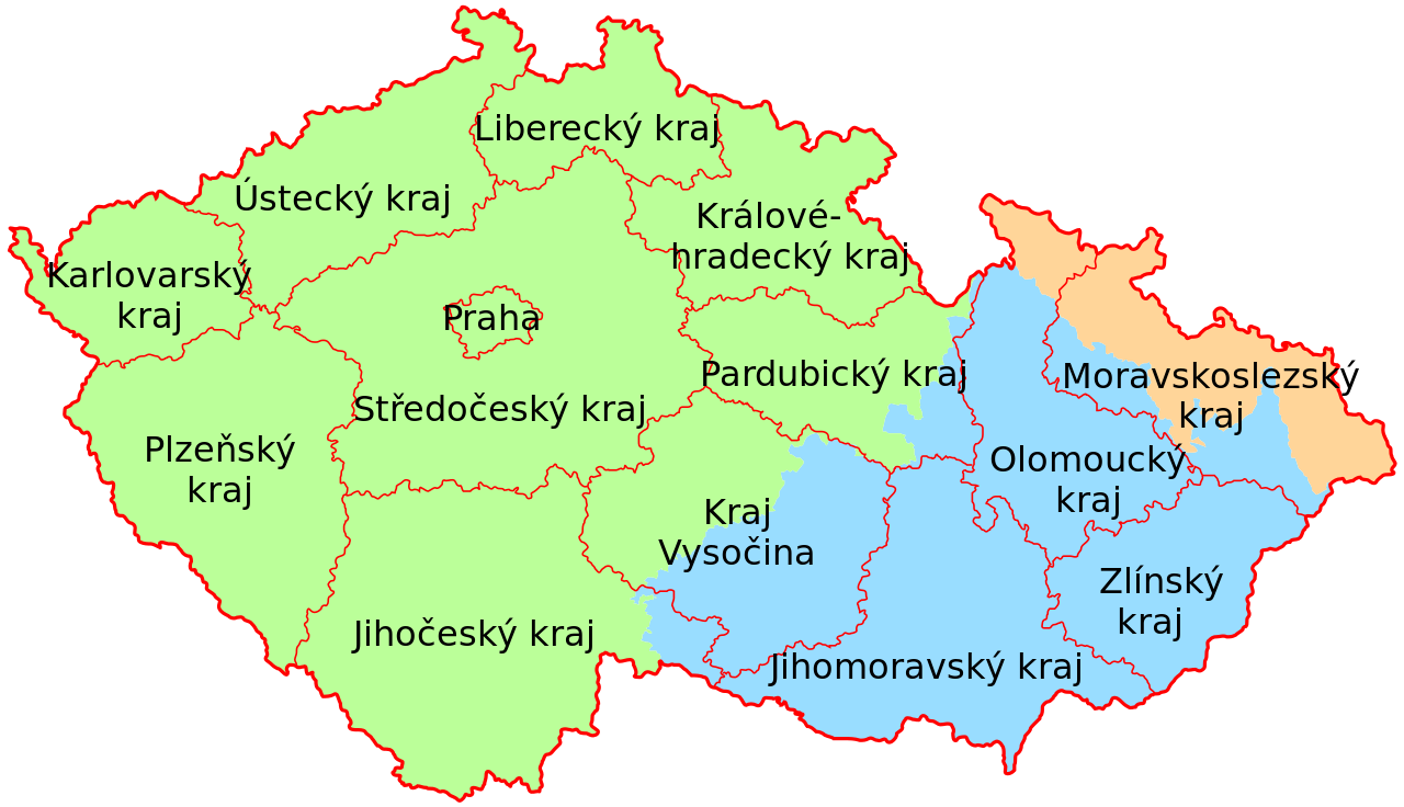
| 13:56, 14 augusto 2018 |  | 800 × 460 (46 KB) | Master Uegly | {{Information |description ={{en|1=Map of the historical Czech regions Bohemia, Moravia and Silesia and the actual division in krajs.}} {{de|1=Karte der historischen tschechischen Länder Böhmen, Mähren und Schlesien und die aktuelle Unterteilung in Kraje.}} |date =2018-08-14 |source ={{own}}, recreation of {{f|CZ Cechy Morava kraje.gif}} using: * {{f|Cesk... |
Uso de iste file
Uso global de iste file
Le altere wikis sequente usa iste imagine:
- Uso in cs.wikipedia.org
- Uso in da.wikipedia.org
- Uso in de.wikipedia.org
- Uso in eo.wikipedia.org
- Uso in fr.wikipedia.org
- Uso in fy.wikipedia.org
- Uso in nl.wikipedia.org
- Uso in no.wikipedia.org
- Uso in www.wikidata.org