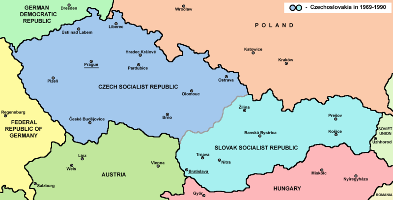
File:Czechoslovakia.png

Dimension de iste previsualisation: 800 × 407 pixels.Altere resolutiones: 320 × 163 pixels | 640 × 325 pixels | 1 188 × 604 pixels.
File original (1 188 × 604 pixels, dimension del file: 69 KB, typo MIME: image/png)
Historia del file
Clicca sur un data/hora pro vider le file como appareva a ille tempore.
| Data/Hora | Miniatura | Dimensiones | Usator | Commento | |
|---|---|---|---|---|---|
| actual | 14:45, 12 julio 2022 |  | 1 188 × 604 (69 KB) | Sebastian Wallroth | CROPPED |
| 17:38, 12 februario 2017 |  | 1 221 × 652 (69 KB) | PANONIAN | Reverted to version as of 11:00, 24 April 2011 (UTC) - why you uploading polish version over english one? upload polish version under different filename | |
| 15:18, 9 februario 2017 |  | 1 221 × 652 (57 KB) | Kelvin | Reverted to version as of 15:13, 9 February 2017 (UTC) | |
| 15:17, 9 februario 2017 |  | 1 221 × 652 (69 KB) | Kelvin | Reverted to version as of 11:00, 24 April 2011 (UTC) | |
| 15:13, 9 februario 2017 |  | 1 221 × 652 (57 KB) | Kelvin | Polish names of countries /Polskie określenia krajów | |
| 11:00, 24 april 2011 |  | 1 221 × 652 (69 KB) | PANONIAN | correction | |
| 10:27, 23 april 2011 |  | 1 221 × 652 (69 KB) | PANONIAN | improved version | |
| 23:31, 10 decembre 2006 |  | 1 200 × 624 (19 KB) | Severino666~commonswiki | Map of Czechoslovakia (self made) Category:Maps of Czechoslovakia Category:Maps of Czech history Category:Maps of the history of Slovakia Category:Maps of the history of Central Europe {{PD}} |
Uso de iste file
Le sequente pagina usa iste file:
Uso global de iste file
Le altere wikis sequente usa iste imagine:
- Uso in ang.wikipedia.org
- Uso in an.wikipedia.org
- Uso in ar.wikipedia.org
- Uso in azb.wikipedia.org
- Uso in az.wikipedia.org
- Uso in ba.wikipedia.org
- Uso in bcl.wikipedia.org
- Uso in be-tarask.wikipedia.org
- Uso in be.wikipedia.org
- Uso in bg.wikipedia.org
- Uso in bn.wikipedia.org
- Uso in br.wikipedia.org
- Uso in bs.wikipedia.org
- Uso in ca.wikipedia.org
- Uso in cv.wikipedia.org
- Uso in da.wikipedia.org
- Uso in de.wikipedia.org
- Uso in dsb.wikipedia.org
- Uso in el.wikipedia.org
- Uso in en.wikipedia.org
- Czechoslovakia
- History of Slovakia
- History of Czechoslovakia (1948–1989)
- History of Czechoslovakia (1989–1992)
- Economy of communist Czechoslovakia
- History of Czechoslovakia
- Dissolution of Czechoslovakia
- Czechoslovak Socialist Republic
- Portal:Slovakia
- She Grazed Horses on Concrete
- Rugby union in Czechoslovakia
Vider altere usos global de iste file.


