File:French Polynesia (orthographic projection, yellowblue).svg

Dimension de iste previsualisation PNG de iste file SVG: 501 × 501 pixels. Altere resolutiones: 240 × 240 pixels | 480 × 480 pixels | 768 × 768 pixels | 1 024 × 1 024 pixels | 2 048 × 2 048 pixels.
File original (File SVG, dimensiones nominal: 501 × 501 pixels, grandor del file: 291 KB)
.svg)
Summario
| Description |
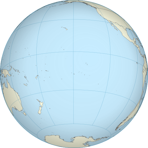
English: A map of the hemisphere centred on French Polynesia, using an orthographic projection, created using gringer's Perl script with Natural Earth Data (1:50000 resolution, simplified to 0.01px). Français : Représentation du globe terrestre centrée sur la Polynésie française. Carte en projection orthographique, générée par le script de Gringer en langage Perl avec les données du site www.naturalearthdata.com. Résolution 1:50000, simplifiée à 0,01 pixel. |
| Data | |
| Origine | Obra proprie |
| Autor | Gringer |
| Altere versiones | |
| SVG | W3C-validity not checked. |
.svg)
| Camera location | | View this and other nearby images on: OpenStreetMap |
|---|
.svg¶ms=-17.500000_N_-149.500000_E_globe:Earth_type:camera_type:satellite_dim:40000km_heading:0.00&language=ia)
Licentia
| Io, titular del derecto de autor sur iste obra, libera iste obra al dominio public. Isto vale in tote le mundo. In alcun paises isto pote non esser legalmente possibile. In tal caso: Io concede a omnes le derecto de usar iste obra pro non importa qual fin, sin conditiones, a minus que tal conditiones sia requirite per lege. |
Historia del file
Clicca sur un data/hora pro vider le file como appareva a ille tempore.
| Data/Hora | Miniatura | Dimensiones | Usator | Commento | |
|---|---|---|---|---|---|
| actual | 17:38, 27 april 2011 | | 501 × 501 (291 KB) | Sémhur | Try to see the map |
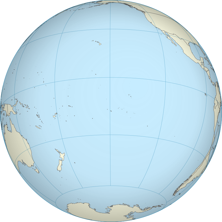
| 12:54, 5 octobre 2010 |  | 550 × 550 (744 KB) | Gringer | {{Information |Description={{en|1=A map of the hemisphere centred on French Polynesia, using an orthographic projection, created using gringer's Perl script with Natural Earth Data (1:50000 resolution, simplified to 0.25px). }} |Source={{own}} |Author=[[U |
Uso de iste file
Il non ha paginas que usa iste file.
Uso global de iste file
Le altere wikis sequente usa iste imagine:
- Uso in en.wikipedia.org
- Uso in pt.wikipedia.org
.svg)