File:Germany adm location map.svg

File original (File SVG, dimensiones nominal: 1 073 × 1 272 pixels, grandor del file: 643 KB)
Summario
| Description |
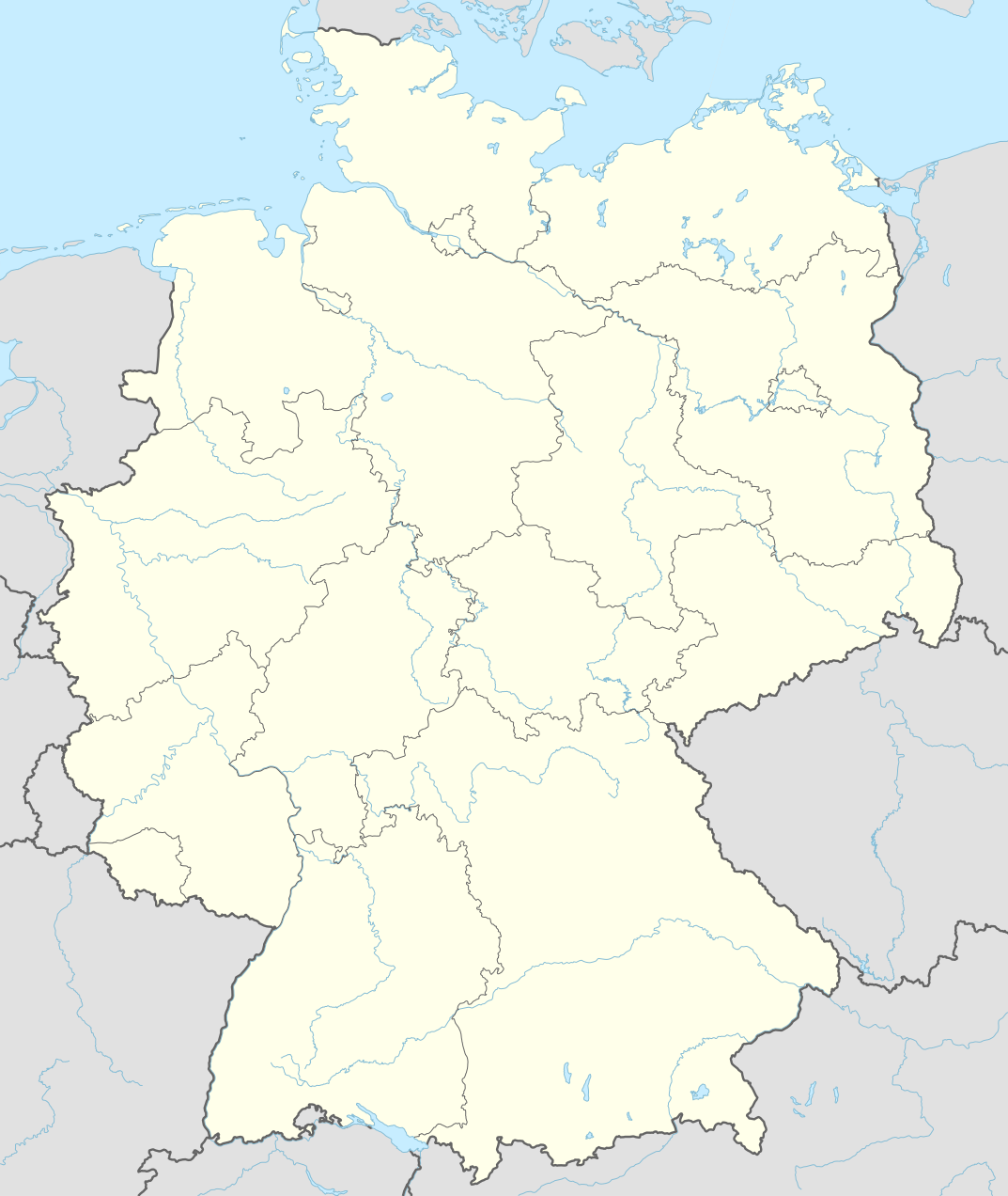
Deutsch: Positionskarte von Deutschland
English: Location map of Germany
|
||||||||||||
| Data | |||||||||||||
| Origine |
Own work using:
|
||||||||||||
| Autor | NordNordWest | ||||||||||||
| SVG genesis | This world map was created with Adobe Illustrator by NordNordWest.
|
||||||||||||

Licentia
Usage of this file with:

explanatory notes: Legally binding is only the full legalcode. For a free usage I recommend to respect the following licence conditions:
1. Provide my name as given above: NordNordWest,
2. a copy of, or the URI for, the applicable license: https://creativecommons.org/licenses/by-sa/3.0/de/legalcode,
3. the title of the work,
4. in the case of an adaptation, a credit identifying the use of the work in the adaptation.
This license and the rights granted hereunder will terminate automatically upon any breach by you of the terms of this license. Any of the above conditions can be waived if you get permission from the copyright holder. If you have questions or wish differing conditions, please contact me through nnwest or my discussion page ![]() t-online.de
t-online.de
- Tu es libere:
- de condivider – de copiar, distribuer e transmitter le obra
- de remixar – de adaptar le obra
- Sub le sequente conditiones:
- attribution – Tu debe dar information appropriate sur le autor, fornir un ligamine al licentia, e indicar si modificationes ha essite apportate. Tu pote facer lo de qualcunque maniera rationabile, ma non in alcun modo que suggere que le licentiator approba te o tu uso del obra.
- condivider equalmente – Si tu altera, transforma o disveloppa le material, tu debe distribuer tu contributiones sub un licentia identic o compatibile con le original.

Historia del file
Clicca sur un data/hora pro vider le file como appareva a ille tempore.
| Data/Hora | Miniatura | Dimensiones | Usator | Commento | |
|---|---|---|---|---|---|
| actual | 17:46, 15 septembre 2014 | | 1 073 × 1 272 (643 KB) | NordNordWest | == {{int:filedesc}} == {{Information |Description= {{de|1=Positionskarte von Deutschland}} {{en|1=Location map of Germany}} {{Location map series N |top=55.1 |bottom=47.2 |left=5.5 |right=15.5 }} |Source={{Own using}} * United States National Imagery a... |
Uso de iste file
Le sequente pagina usa iste file:
Uso global de iste file
Le altere wikis sequente usa iste imagine:
- Uso in af.wikipedia.org
- Heiligendamm
- Lughawe Frankfurt
- Züsedom
- Breinigerberg
- Passau
- Berlyn-Brandenburg Internasionale Lughawe
- Caputh
- Tempelhof-lughawe
- Brobergen
- Bayreuth
- Bimmen
- FIFA Sokker-Wêreldbekertoernooi in 2006
- FIFA Sokker-Konfederasiebeker in 2005
- Kronberg im Taunus
- Eschborn
- Schwalbach am Taunus
- Steinstücken
- Eltville am Rhein
- Bad Homburg vor der Höhe
- Friedrichsdorf
- Hanau
- Limburg an der Lahn
- Lorsch
- Gelnhausen
- Gießen
- Königstein im Taunus
- Freudenstadt
- Sylt (munisipaliteit)
- Kiedrich
- Selters (Taunus)
- Hochheim am Main
- Sellin
- Friedersdorf (Heidesee)
- Oberbillig
- Neuendettelsau
- Geesterivier
- Hamburg Lughawe
- Düsseldorf Lughawe
- Duitse nasionale krieketspan
- Uso in ar.wikipedia.org
Vider altere usos global de iste file.