File:Japan honshu map.svg

Dimension de iste previsualisation PNG de iste file SVG: 413 × 373 pixels. Altere resolutiones: 266 × 240 pixels | 532 × 480 pixels | 850 × 768 pixels | 1 134 × 1 024 pixels | 2 268 × 2 048 pixels.
File original (File SVG, dimensiones nominal: 413 × 373 pixels, grandor del file: 973 KB)
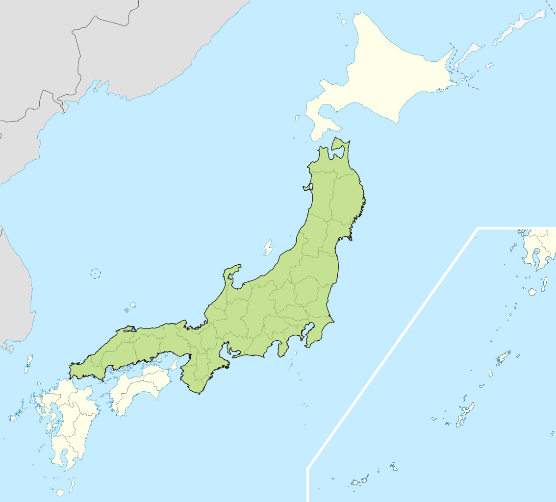
| Description | Small map of Honshu, Japan |
| Data | (UTC) |
| Origine | |
| Autor |
|
Io, titular del derecto de autor sur iste obra, declara de publicar lo sub le sequente licentias:
Iste file es disponibile sub le licentia Creative Commons Attribution-CompartiSimile 3.0 Non-localisate.
- Tu es libere:
- de condivider – de copiar, distribuer e transmitter le obra
- de remixar – de adaptar le obra
- Sub le sequente conditiones:
- attribution – Tu debe dar information appropriate sur le autor, fornir un ligamine al licentia, e indicar si modificationes ha essite apportate. Tu pote facer lo de qualcunque maniera rationabile, ma non in alcun modo que suggere que le licentiator approba te o tu uso del obra.
- condivider equalmente – Si tu altera, transforma o disveloppa le material, tu debe distribuer tu contributiones sub un licentia identic o compatibile con le original.

|
Le permission es concedite de copiar, distribuer e/o modificar iste documento sub le conditiones del Licentia GNU pro Documentation Libere, Version 1.2 o omne version plus recente publicate per le Fundation pro Software Libere; sin Sectiones Invariabile, sin Textos de Copertura Frontal e sin Textos de Copertura Posterior. Un copia del licentia es includite in le section titulate Licentia GNU pro Documentation Libere. |
Tu pote seliger le licentia de tu preferentia.
Registro de incargamento original
This image is a derivative work of the following images:
- File:Japan_location_map_with_side_map_of_the_Ryukyu_Islands.svg licensed with Cc-by-sa-3.0, GFDL
- 2010-10-30T13:53:18Z NordNordWest 413x373 (948276 Bytes) Liancourts Rock boundary
- 2010-09-17T01:15:53Z Dinamik 413x373 (1638123 Bytes) medium color for disputed territories
- 2010-03-21T11:41:34Z Chumwa 413x373 (1597074 Bytes) Präfekturgrenzen bereinigt
- 2010-03-20T13:33:30Z Chumwa 413x373 (1793386 Bytes) Trennlinie zu Nebenkarte etwas verbreitert
- 2010-03-20T09:50:05Z Chumwa 413x373 (2010954 Bytes) == {{int:filedesc}} == {{Information |Description= {{de|Postionskarte von [[:de:Japan|Japan]]}} Quadratische Plattkarte. Bei Nutzung der Hauptkarte mit den Hauptinseln gelten folgende geographische Begrenzungen für die (Ges
Uploaded with derivativeFX
Historia del file
Clicca sur un data/hora pro vider le file como appareva a ille tempore.
| Data/Hora | Miniatura | Dimensiones | Usator | Commento | |
|---|---|---|---|---|---|
| actual | 04:07, 2 maio 2011 | | 413 × 373 (973 KB) | Jkwchui | {{Information |Description=Small map of Honshu, Japan |Source=*File:Japan_location_map_with_side_map_of_the_Ryukyu_Islands.svg |Date=2011-05-02 04:05 (UTC) |Author=*File:Japan_location_map_with_side_map_of_the_Ryukyu_Islands.svg: [[:de:User:Ch |
Uso de iste file
Le sequente pagina usa iste file:
Uso global de iste file
Le altere wikis sequente usa iste imagine:
- Uso in ace.wikipedia.org
- Uso in af.wikipedia.org
- Uso in als.wikipedia.org
- Uso in am.wikipedia.org
- Uso in ar.wikipedia.org
- Uso in ast.wikipedia.org
- Uso in az.wikipedia.org
- Uso in ban.wikipedia.org
- Uso in ba.wikipedia.org
- Uso in be-tarask.wikipedia.org
- Uso in be.wikipedia.org
- Uso in bg.wikipedia.org
- Uso in bm.wikipedia.org
- Uso in bs.wikipedia.org
- Uso in ca.wikipedia.org
- Uso in ceb.wikipedia.org
- Uso in diq.wikipedia.org
- Uso in en.wikipedia.org
- Uso in es.wikipedia.org
- Uso in et.wikipedia.org
- Uso in eu.wikipedia.org
- Uso in fa.wikipedia.org
- Uso in fo.wikipedia.org
- Uso in fr.wikipedia.org
- Uso in fr.wiktionary.org
- Uso in ga.wikipedia.org
- Uso in gd.wikipedia.org
- Uso in gl.wikipedia.org
- Uso in hak.wikipedia.org
- Uso in ha.wikipedia.org
- Uso in he.wikipedia.org
- Uso in hu.wikipedia.org
- Uso in hy.wikipedia.org
- Uso in id.wikipedia.org
- Uso in ie.wikipedia.org
- Uso in ilo.wikipedia.org
- Uso in io.wikipedia.org
- Uso in is.wikipedia.org
- Uso in it.wikipedia.org
- Uso in it.wikivoyage.org
- Uso in ja.wikipedia.org
- Uso in jv.wikipedia.org
- Uso in kab.wikipedia.org
- Uso in ka.wikipedia.org
- Uso in km.wikipedia.org
- Uso in ko.wikipedia.org
- Uso in ky.wikipedia.org
Vider altere usos global de iste file.