File:Mount Bonnell 2008.jpg
Dimension de iste previsualisation: 800 × 600 pixels.Altere resolutiones: 320 × 240 pixels | 640 × 480 pixels | 1 024 × 768 pixels | 1 280 × 960 pixels | 2 560 × 1 920 pixels | 2 816 × 2 112 pixels.
File original (2 816 × 2 112 pixels, dimension del file: 2,61 MB, typo MIME: image/jpeg)
Summario
| Description |
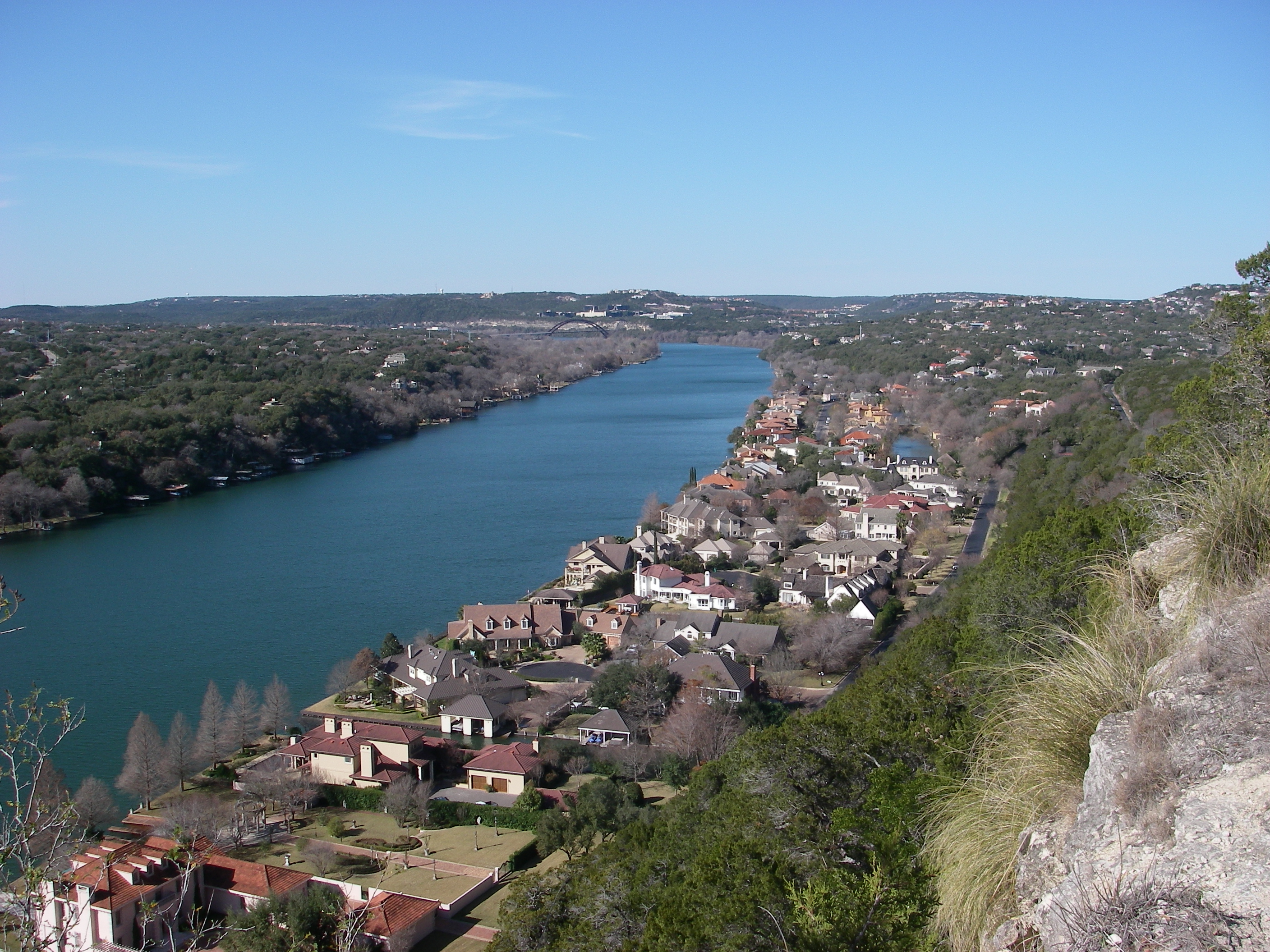
English: View from atop Mount Bonnell looking northwest toward Pennybacker Bridge in Austin, Texas. |
| Data | |
| Origine | Obra proprie |
| Autor | Leaflet |
| Altere versiones | Public domain photos of the Rolling Plains of Texas. |
| Camera location | | View this and other nearby images on: OpenStreetMap |
|---|
Licentia
| Io, titular del derecto de autor sur iste obra, libera iste obra al dominio public. Isto vale in tote le mundo. In alcun paises isto pote non esser legalmente possibile. In tal caso: Io concede a omnes le derecto de usar iste obra pro non importa qual fin, sin conditiones, a minus que tal conditiones sia requirite per lege. |
Historia del file
Clicca sur un data/hora pro vider le file como appareva a ille tempore.
| Data/Hora | Miniatura | Dimensiones | Usator | Commento | |
|---|---|---|---|---|---|
| actual | 05:26, 15 februario 2009 | | 2 816 × 2 112 (2,61 MB) | Leaflet | {{Information |Description={{en|1=View from atop Mount Bonnell looking northwest toward Pennybacker Bridge.}} |Source=Own work by uploader |Author=Leaflet |Date=December 31, 2008 |Permission= |other_versions= }} <!--{{ImageUpload|full}}- |
Uso de iste file
Le sequente pagina usa iste file:
Uso global de iste file
Le altere wikis sequente usa iste imagine:
- Uso in af.wikipedia.org
- Uso in arz.wikipedia.org
- Uso in be.wikipedia.org
- Uso in bn.wikipedia.org
- Uso in cs.wikipedia.org
- Uso in cv.wikipedia.org
- Uso in da.wikipedia.org
- Uso in en.wikipedia.org
- Uso in eo.wikipedia.org
- Uso in fi.wikipedia.org
- Uso in fi.wiktionary.org
- Uso in fr.wikipedia.org
- Uso in ha.wikipedia.org
- Uso in hu.wikipedia.org
- Uso in hy.wikipedia.org
- Uso in id.wikipedia.org
- Uso in ja.wikipedia.org
- Uso in lt.wikipedia.org
- Uso in no.wikipedia.org
- Uso in pt.wikipedia.org
- Uso in ru.wikipedia.org
- Uso in sd.wikipedia.org
- Uso in sh.wikipedia.org
- Uso in www.wikidata.org
- Uso in xmf.wikipedia.org
- Uso in zh.wikipedia.org