File:Qatar location map.svg

Dimension de iste previsualisation PNG de iste file SVG: 631 × 599 pixels. Altere resolutiones: 253 × 240 pixels | 505 × 480 pixels | 808 × 768 pixels | 1 078 × 1 024 pixels | 2 156 × 2 048 pixels | 1 039 × 987 pixels.
File original (File SVG, dimensiones nominal: 1 039 × 987 pixels, grandor del file: 60 KB)
Summario
| Description |
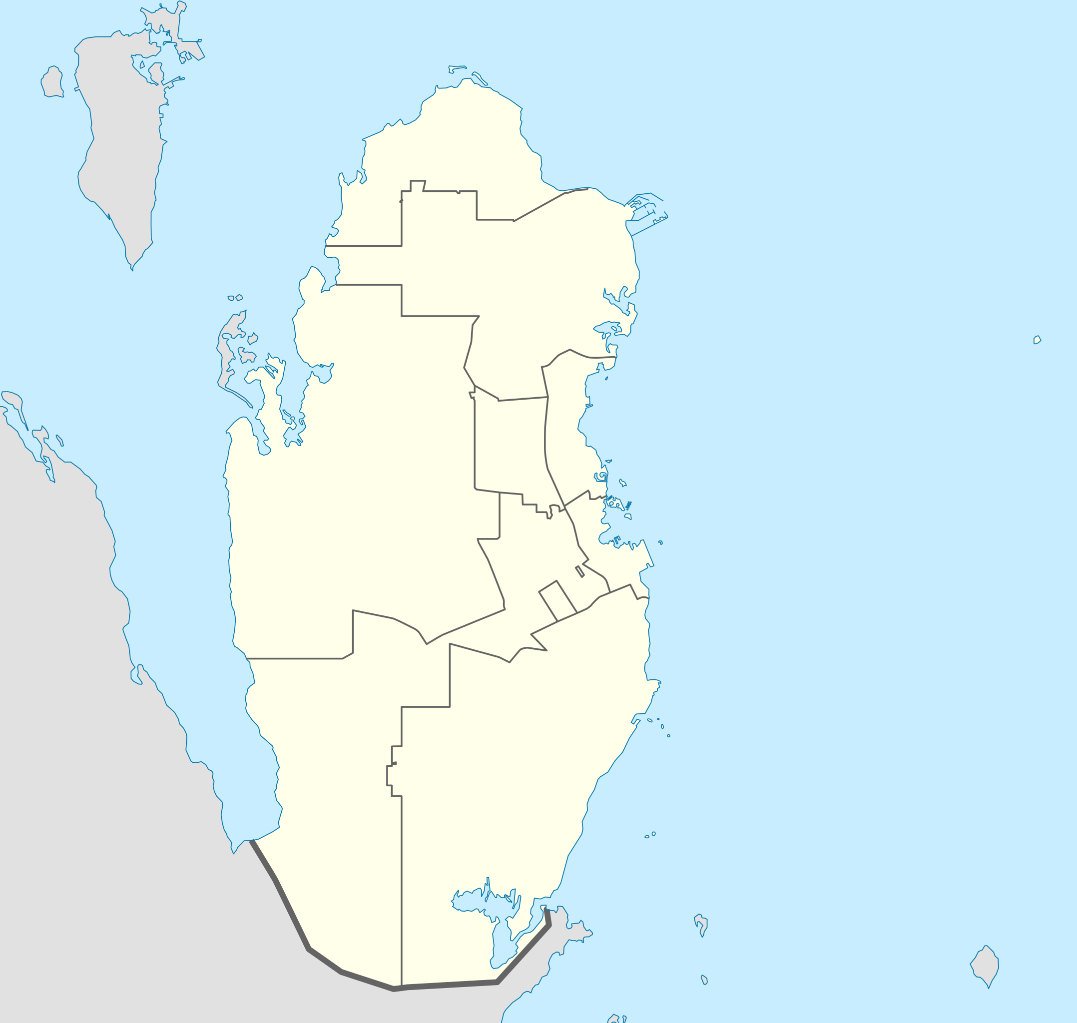
Deutsch: Positionskarte von Katar
Quadratische Plattkarte, N-S-Streckung 110 %. Geographische Begrenzung der Karte:
English: Location map of Qatar
Equirectangular projection, N/S stretching 110 %. Geographic limits of the map:
|
| Data | |
| Origine |
own work, using
|
| Autor | NordNordWest |

|
This map has been made or improved in the German Kartenwerkstatt (Map Lab). You can propose maps to improve as well.
|
Licentia
Io, titular del derecto de autor sur iste obra, declara de publicar lo sub le sequente licentias:

|
Le permission es concedite de copiar, distribuer e/o modificar iste documento sub le conditiones del Licentia GNU pro Documentation Libere, Version 1.2 o omne version plus recente publicate per le Fundation pro Software Libere; sin Sectiones Invariabile, sin Textos de Copertura Frontal e sin Textos de Copertura Posterior. Un copia del licentia es includite in le section titulate Licentia GNU pro Documentation Libere. |
Iste file es disponibile sub le licentia Creative Commons Attribution-CompartiSimile 3.0 Non-localisate.
- Tu es libere:
- de condivider – de copiar, distribuer e transmitter le obra
- de remixar – de adaptar le obra
- Sub le sequente conditiones:
- attribution – Tu debe dar information appropriate sur le autor, fornir un ligamine al licentia, e indicar si modificationes ha essite apportate. Tu pote facer lo de qualcunque maniera rationabile, ma non in alcun modo que suggere que le licentiator approba te o tu uso del obra.
- condivider equalmente – Si tu altera, transforma o disveloppa le material, tu debe distribuer tu contributiones sub un licentia identic o compatibile con le original.
Tu pote seliger le licentia de tu preferentia.
Historia del file
Clicca sur un data/hora pro vider le file como appareva a ille tempore.
| Data/Hora | Miniatura | Dimensiones | Usator | Commento | |
|---|---|---|---|---|---|
| actual | 23:02, 24 maio 2022 | | 1 039 × 987 (60 KB) | Spesh531 | updating internal borders and Qatar-Saudi Arabia border |
| 21:11, 9 januario 2011 |  | 1 039 × 987 (50 KB) | NordNordWest | upd | |
| 17:31, 19 decembre 2009 |  | 1 039 × 988 (77 KB) | NordNordWest | update | |
| 21:22, 24 augusto 2008 |  | 1 039 × 988 (73 KB) | NordNordWest | {{Information |Description= {{de|Positionskarte von Katar}} Quadratische Plattkarte, N-S-Streckung 110 %. Geographische Begrenzung der Karte: * N: 26.3° N * S: 24.4° N * W: 50.3° O * O: 52.5° O {{en|Location map of Qatar}} |
Uso de iste file
Le sequente pagina usa iste file:
Uso global de iste file
Le altere wikis sequente usa iste imagine:
- Uso in af.wikipedia.org
- Uso in ar.wikipedia.org
- كأس الخليج العربي 4
- كأس العالم 2022
- كأس آسيا 2011
- قالب:خريطة مواقع قطر
- بطولة العالم لكرة اليد للرجال 2015
- بطولة آسيا تحت 23 سنة لكرة القدم 2016
- كأس الخليج للمنتخبات الأولمبية 2010
- محطة رأس لفان للطاقة
- بطولة الأندية العربية لأبطال الدوري 2001
- كأس القارات لكرة الصالات 2016
- دوري نجوم قطر 2009–10
- دوري نجوم قطر 2010–11
- دوري نجوم قطر 2011–12
- دوري نجوم قطر 2013–14
- دوري نجوم قطر 2014–15
- دوري نجوم قطر 2015–16
- كأس الخليج العربي 24
- كأس العالم للأندية 2019
- كأس العالم للأندية 2020
- كأس العرب 2021
- تصفيات كأس العرب 2021
- كأس سوبر لوسيل 2022
- كأس آسيا تحت 23 سنة 2024
- ملاعب كأس العالم 2022
- Uso in ast.wikipedia.org
- Uso in ba.wikipedia.org
- Uso in be-tarask.wikipedia.org
- Uso in be.wikipedia.org
- Uso in bg.wikipedia.org
- Uso in bn.wikipedia.org
- Uso in bs.wikipedia.org
Vider altere usos global de iste file.