File:South Sudan adm location map.svg

File original (File SVG, dimensiones nominal: 1 561 × 1 133 pixels, grandor del file: 201 KB)
Summario
| Description |
Deutsch: Positionskarte von Südsudan
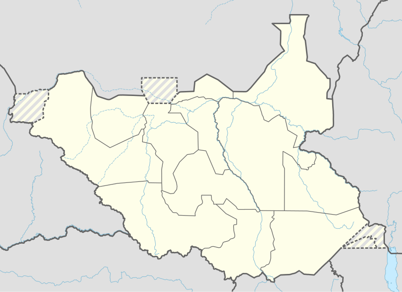
English: Location map of South Sudan
|
||||||||||||
| Data | |||||||||||||
| Origine |
Own work using:
|
||||||||||||
| Autor | NordNordWest | ||||||||||||
| Altere versiones |
|
||||||||||||
_adm_location_map.svg)
_adm_location_map.svg)


|
This map has been made or improved in the German Kartenwerkstatt (Map Lab). You can propose maps to improve as well.
|
Licentia
Usage of this file with:

explanatory notes: Legally binding is only the full legalcode. For a free usage I recommend to respect the following licence conditions:
1. Provide my name as given above: NordNordWest,
2. a copy of, or the URI for, the applicable license: https://creativecommons.org/licenses/by-sa/3.0/de/legalcode,
3. the title of the work,
4. in the case of an adaptation, a credit identifying the use of the work in the adaptation.
This license and the rights granted hereunder will terminate automatically upon any breach by you of the terms of this license. Any of the above conditions can be waived if you get permission from the copyright holder. If you have questions or wish differing conditions, please contact me through nnwest or my discussion page ![]() t-online.de
t-online.de
- Tu es libere:
- de condivider – de copiar, distribuer e transmitter le obra
- de remixar – de adaptar le obra
- Sub le sequente conditiones:
- attribution – Tu debe dar information appropriate sur le autor, fornir un ligamine al licentia, e indicar si modificationes ha essite apportate. Tu pote facer lo de qualcunque maniera rationabile, ma non in alcun modo que suggere que le licentiator approba te o tu uso del obra.
- condivider equalmente – Si tu altera, transforma o disveloppa le material, tu debe distribuer tu contributiones sub un licentia identic o compatibile con le original.

Historia del file
Clicca sur un data/hora pro vider le file como appareva a ille tempore.
| Data/Hora | Miniatura | Dimensiones | Usator | Commento | |
|---|---|---|---|---|---|
| actual | 18:25, 23 april 2020 | | 1 561 × 1 133 (201 KB) | Leviavery | Added Pibor and Ruweng Administrative Areas |
| 16:16, 25 februario 2020 |  | 1 561 × 1 133 (199 KB) | Myrabert01 | Reverted to version as of 13:47, 25 February 2020 (UTC) South Sudan revert back to 10 States. https://www.aljazeera.com/news/2020/02/6-years-war-peace-finally-south-sudan-200223114919537.html | |
| 14:39, 25 februario 2020 |  | 1 561 × 1 133 (213 KB) | NordNordWest | Reverted to version as of 14:39, 13 August 2016 (UTC); no reason for this revert | |
| 13:47, 25 februario 2020 |  | 1 561 × 1 133 (199 KB) | Myrabert01 | Reverted to version as of 18:18, 12 November 2014 (UTC). South Sudan revert back to 10 States. | |
| 14:39, 13 augusto 2016 |  | 1 561 × 1 133 (213 KB) | NordNordWest | corr | |
| 12:31, 12 augusto 2016 |  | 1 561 × 1 133 (214 KB) | NordNordWest | upd, new states | |
| 18:18, 12 novembre 2014 |  | 1 561 × 1 133 (199 KB) | NordNordWest | == {{int:filedesc}} == {{Information |Description= {{de|1=Positionskarte von Südsudan}} {{en|1=Location map of South Sudan}} {{Location map series N |stretching=101 |top=12.7 |bottom=3.2 |left=23.15 |right=36.4 }} |Source={{Own using}} * United States... |
Uso de iste file
Le sequente pagina usa iste file:
Uso global de iste file
Le altere wikis sequente usa iste imagine:
- Uso in ab.wikipedia.org
- Uso in af.wikipedia.org
- Uso in an.wikipedia.org
- Uso in av.wikipedia.org
- Uso in azb.wikipedia.org
- Uso in az.wikipedia.org
- Uso in be.wikipedia.org
- Uso in bg.wikipedia.org
- Uso in bn.wikipedia.org
- Uso in bs.wikipedia.org
- Uso in ceb.wikipedia.org
Vider altere usos global de iste file.